ESA’s Earth from Space series reaches its 1000th image with a return to the vibrant waters of southern Florida, Cuba and the Bahamas – the same region featured in the very first edition in 2004.
Zoom in or click on the circles to explore this image at its full resolution.
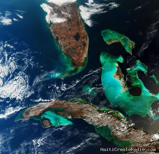
This image, captured by the Copernicus Sentinel-3 mission, shows at the top the southern tip of Florida, the circular Lake Okeechobee down through the Everglades and the curved archipelago of islands known as the Florida Keys all the way to Key West. The surrounding turquoise and deep-blue waters create a striking reminder of the beauty and diversity of our planet, making this a fitting scene to celebrate a thousand views of Earth from space.
At the bottom of the image lies Cuba, partially veiled by clouds. The darker cloud-free area along the island’s southern coast is the Zapata Swamp, Cuba’s largest wetland, spanning the Zapata Peninsula and surrounding the Bay of Pigs. The peninsula stretches into the turquoise waters of the Gulf of Batabanò, which separates the Cuban mainland from the circular Isla de la Juventud.
Between Florida and Cuba is the Cay Sal bank, appearing as a small area of turquoise water in the dark blue Straits of Florida.
To the east, we can see the Bahamas, which consist of a chain of islands and shallow-water banks. The largest island, Andros, lies on the eastern edge of the Great Bahama Bank, a shallow-submerged water platform. The contrast between the bank’s shallow green and turquoise waters and the darker Atlantic waters clearly marks the abrupt transition to deeper waters.
Earth from Space showcases some of the planet’s most beautiful and remote places through remarkable satellite imagery. Beyond their visual appeal, these images show how Earth observation provides valuable and reliable information to answer important Earth-science questions, improve agricultural practices and maritime safety, mitigate and adapt to the effects of climate change, help when disaster strikes, and all manner of everyday applications in order to protect natural resources and the global environment. The full collection is available in the Earth from Space image gallery.
The first image in the series was captured in 2004 by ESA’s Envisat with its Medium Resolution Imaging Spectrometer (MERIS) – the image covered an area of 670 km x 670 km at a spatial resolution of 300 m.
This image from March 2026 was acquired by Copernicus Sentinel-3’s Ocean and Land Colour Instrument (OLCI), which builds on the legacy of MERIS, and is designed to keep the same ocean and land monitoring goals, but with enhanced performance.
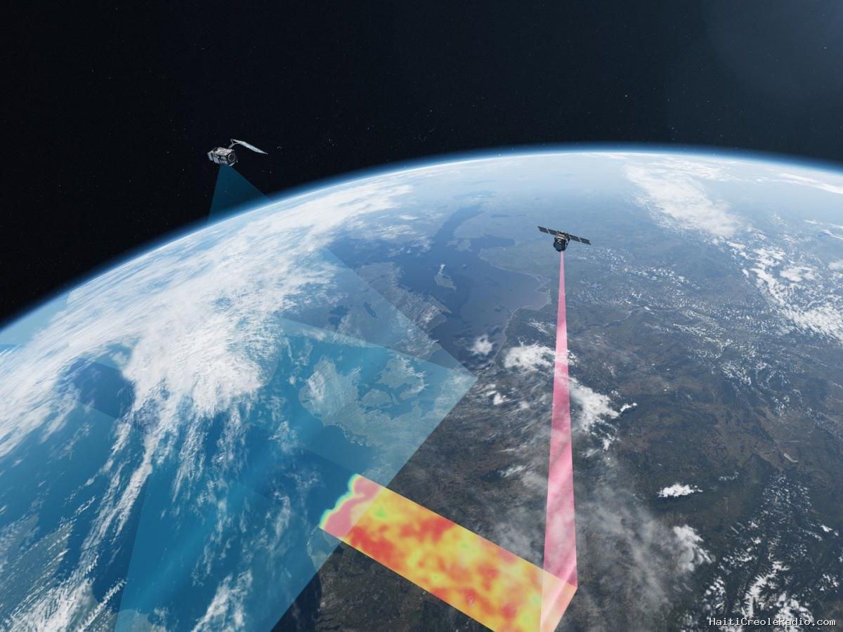
While MERIS had 15 spectral bands, OLCI features 21 distinct bands. It has a spatial resolution of 300 m for all measurements and a wider swath width of 1270 km. Also, the Sentinel-3 mission is based on a constellation of two satellites, which optimises coverage and provide global revisit every two days.
OLCI’s eyes on Earth allow ocean ecosystems to be monitored, support crop management and agriculture and provide estimates of atmospheric aerosol and clouds – all of which bring significant societal benefits through more informed decision-making.
The third Copernicus Sentinel-3 satellite, Sentinel-3C, is set for launch this autumn to ensure continuity of these kind of data.

Commentaires (0)
Laisser un commentaire
Aucun commentaire. Soyez le premier !